


Climate Change Could Increase Eutrophication By 19 Percent
August 1, 2017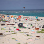
The Hidden Impacts of Marine Microplastic Pollution
October 10, 2017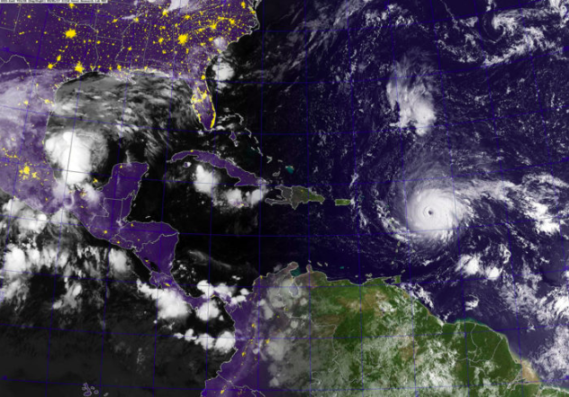
As the people of Houston and the Gulf Coast begin to recover what was not destroyed by Hurricane Harvey, meteorologists are astonished by the power and scale of Hurricane Irma. It’s clear that this hurricane season will be one for the record books.
While scientists will be quick to acknowledge that climate change hasn’t “caused” Harvey, Irma, or any particular storm, global warming is almost certainly adding to the intensity of these events. Higher air and water temperatures mean more tropical storms graduate to hurricane status.
Temperature and the Clausius-Clapeyron Relation
In an interview with Ira Flatow on Science Friday, September 1, Penn State climate scientist Michael Mann said that higher sea levels, warmer temperatures, and unusual storm behavior all contributed to Hurricane Harvey’s destructiveness. Temperature in particular had a clear, direct relationship with the hurricane’s intensity, Mann said:
“That’s one of the most basic relationships we have in atmospheric science. There’s a term for it: the Clausius–Clapeyron relation. It’s basically just thermodynamics, and it tells us the warmer the ocean’s surface, the more moisture there will be in the air. The more moisture there is in the air, the more moisture there is to get entrained into a storm like Harvey and produce flooding rainfall.”
As Hurricane Harvey formed, temperatures in the Gulf of Mexico were 2.7 to 7.2 degrees Fahrenheit above average. In the Atlantic Ocean, warmer temperatures have been persisting for years, as part of a natural cycle.
Is the Atlantic Multidecadal Oscillation continuing its warm phase?
The North Atlantic Ocean regularly switches between warm and cool phases that can last for years or decades, a phenomenon known as the Atlantic Multidecadal Oscillation (AMO). Researchers have detected evidence of the cycle going back centuries by studying tree rings.
Since 1995, the Atlantic Ocean has been in the warm phase of the AMO, and forecasters speculated last year that the warm phase was dying down after several years of relatively low hurricane activity. However, this particularly active season suggests that the warm phase of the AMO is continuing, and is perhaps being upended by climate change.
Natural flooding in U.S. and European waterways appears to be more strongly influenced by the AMO than by overall global warming, according to a study in the Journal of Hydrology. Though climate models have long predicted more frequent and intense flooding events, this trend has not been reflected in the data, likely because floods are influenced by many complex and localized factors. Hurricane frequency, as well, may be influenced by more confounding variables than we realize.
Slowing of the polar jet stream changes storm behavior
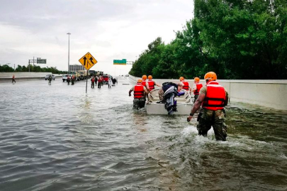
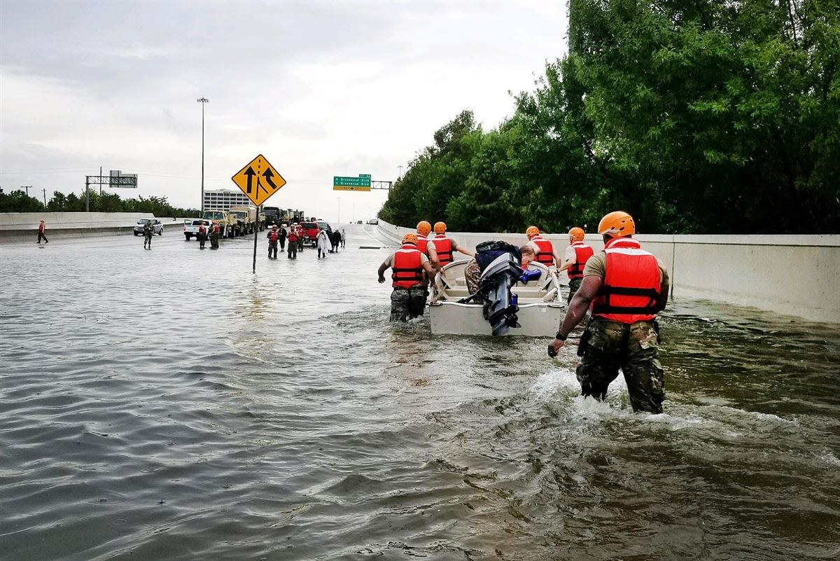
The Texas Army National Guard performs rescue operations in Houston after Hurricane Harvey.
Hurricane Harvey’s behavior made its extraordinary rainfall more damaging. The storm lingered over the Houston area for days, rather than proceeding inland as such storms usually do. This unusual behavior is influenced by the polar jet stream, a channel of high-altitude air that rotates around the Arctic, causing ripple effects on jet streams at lower latitudes.
The arctic experienced record sea temperatures this winter, and is warming at at least twice the rate of the rest of the planet, according to NOAA marine climate scientist Jeremy Mathis. A reduction of the temperature gradient between the Arctic and the tropics slows down the jet stream, with implications for the whole Northern Hemisphere. Climate scientist Michael Mann says:
“[Arctic warming] is changing these temperature contrasts in a way that we think may be effectively slowing down the jet stream. As the jet stream slows down and it moves north because of the expanding high-pressure region – another prediction from climate models – there is the potential that we will get more of these stalled systems.”
The storm’s behavior may have been influenced by changes in the jet stream, but the question of whether we can expect more stationary storms is very much an open question among climate scientists.
Data will help us prepare for the future
As scientists gain a better understanding of the increasing fluctuations in the climate system, it’s clear that temperature anomalies will continue to be a driving force in the behavior of extreme weather events.
The extremes this season have not been experienced just in North America. Monsoons in India and Bangladesh have taken a horrific human toll, causing severe flooding that has killed 1,200 people.
The relative infrequency and variability of hurricanes means scientists do not yet have enough data to draw conclusions about long-term trends. To truly understand a system as vast and complex as global climate, we need all the data we can get. With innovative and cost-effective products such as our miniDOT® Logger, miniPAR, and Cyclops-7 data loggers, PME is committed to helping researchers gather more data at a time when it’s needed most.

